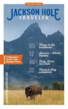

Map of Jackson Hole
The name Jackson Hole refers to an entire valley in the northwest corner of Wyoming, surrounded by mountains. Originally named after an 1820s fur trapper, Davey Jackson, it's 48 miles long and between 8 to 15 mile wide. The northern end of the valley serves as the southern gateway to Yellowstone National Park and is about 6,779 feet above sea level. The town of Jackson (whose name is often confused with the valley, Jackson Hole) sits at the southern end of the valley, at an elevation of about 6,069 feet. See our article on "Getting Oriented" for more information.
- Download the Jackson Hole Map. View with Adobe Viewer.
Grand Teton Hiking Map
This is a Shaded Relief Hiking Map and Guide of Grand Teton National Park, WY. Shaded Relief Topographic Map of the Entire Park (Scale 1:72500) Topographic MAp of Granite to Moran Canyons (Scale 1:48000) Backcountry and climbing regulations, trail milege and suggestions of how to enjoy your visit with minimum impact into the delicate park ecology. Printed on waterproof and tear resistant material and available on Amazon.
Jackson Hole & Grand Teton Topo Map
Expertly researched and created in partnership with local land management agencies, National Geographic’s Trails Illustrated map of Grand Teton National Park provides an unparalleled tool for exploring this magnificent region. This map offers unmatched detail of the entire park and features key areas of interest including Jackson Hole, Jackson Lake, Colter Bay Village, Jenny Lake, Phelps Lake, Teton Crest Trail, Bridger-Teton National Forest, Caribou-Targhee National Forest, Gros Ventre Wilderness, Jedediah Smith Wilderness, and John D. Rockefeller Jr. Memorial Parkway.
Plan your hikes
JH Nordic condenses what would be more than 20 open internet tabs into one place, allowing you to conveniently explore hiking, biking and even snowshoe trails. Consider it your one-stop shop for planning all four seasons of activities in one place. You’ll find more than 90 trails throughout the valley, encompassing Jackson Hole, Teton Valley and Grand Teton National Park. And don’t forget to check their definitive list of Top Jackson Hole and Teton Valley Hiking Trails. The website features GPS trail maps as well as current updates on grooming and snow conditions for all the latest safety guidelines before you go.
Jackson Hole Pathway Maps
Teton County & Grand Teton National Park has 65 miles of completed multi-use pathways. See their Jackson Hole Pathways maps.
Friends of Pathways Trail Crew maintains 125 miles of front country trails in the Greater Snow King Area, on Teton Pass, and at Munger Mountain. See their Jackson Hole maps.
Jackson Hole Weather Access Map
WAM is a Google-based map allowing direct access to both Current Weather and
Point Forecasts for specific cities, towns, mountain & recreation locations.