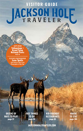
Experience Jackson Hole
Here's the ultimate guide to all the good times in Jackson Hole. There's a lot to do in our pretty playground in the Tetons!
Jackson Hole by the Seasons
There's something for everyone all year-round. Learn about seasonal temperatures, activities and more!
Jackson Hole Travel Planner
Discover everything you need to know about vacationing in Jackson Hole, from how to budget for your trip to getting around and lots of insider tips.
Jackson Hole Ski Resorts
Each of our three area ski resorts offer some incredible summer fun and activities for everyone!
Things to Do in Jackson Hole This Summer
Thrilling summer adventures that make Jackson Hole so memorable.
Things To Do in Grand Teton National Park
No matter the season, the park promises nothing but breathtaking "Wow!" moments.
Hiking in Jackson Hole and Grand Teton National Park
Grand Teton National Park is known as "a hiker's park." Discover why!
Yellowstone National Park
America's first national park bekons with astounding sites, from Old Faithful to bear and bison sightings.
Jackson Hole Videos
Our Bird's Eye Views of What Makes Jackson Hole So Special!
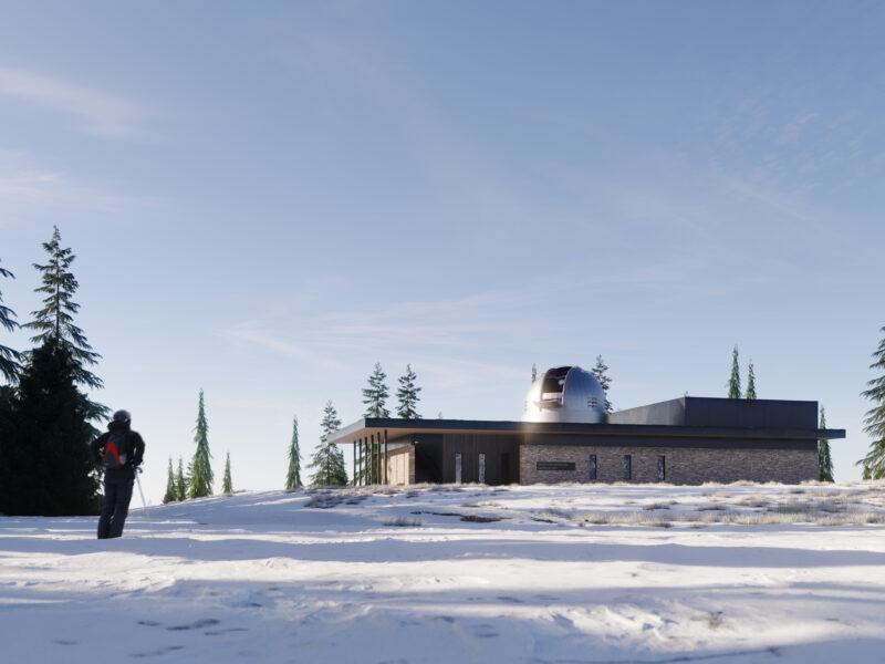
Snow King Mountain Resort
Spring Creek Ranch Horseback
Tom Mangelsen photographing in Grand Teton National Park
White Buffalo Club Restaurant